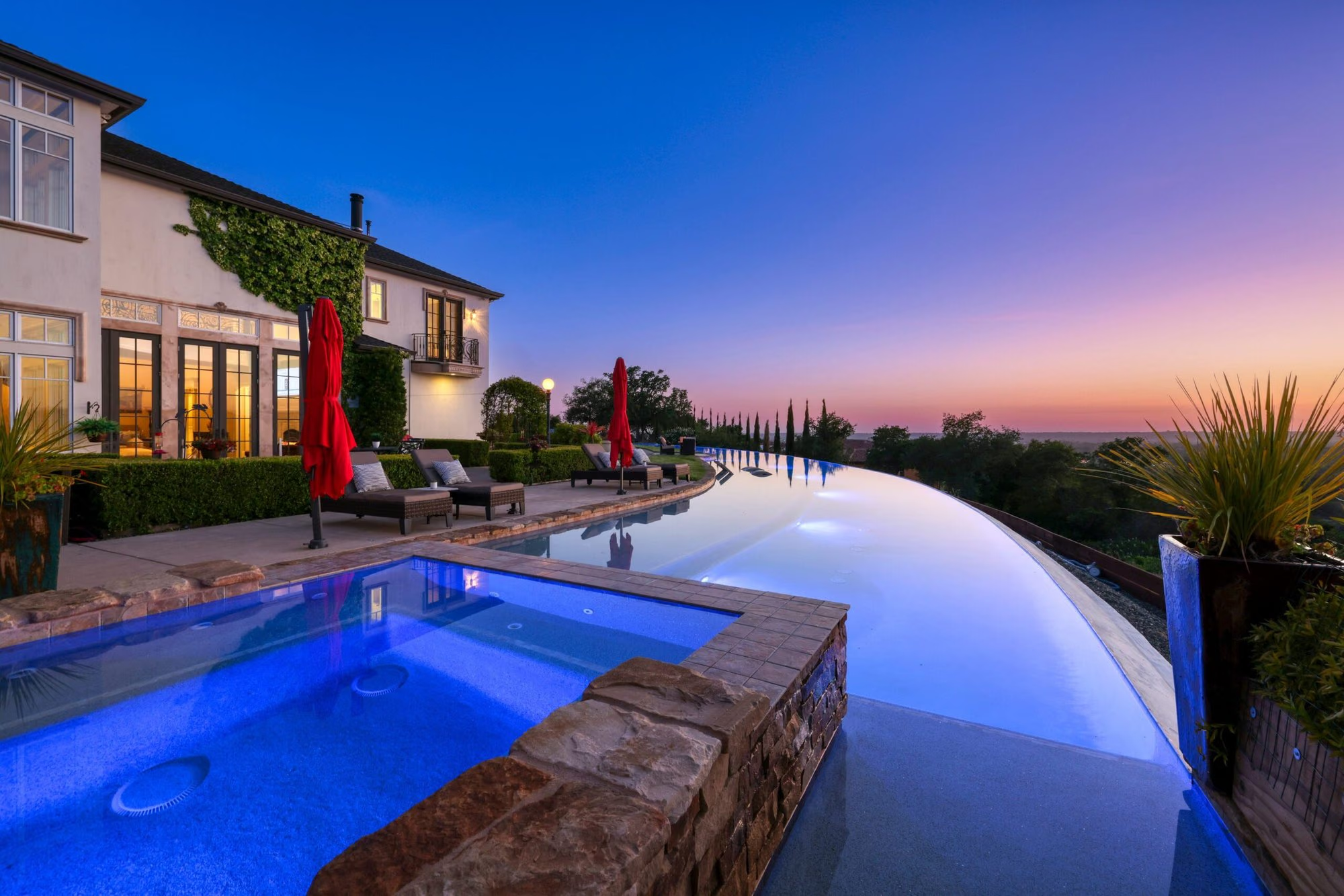
Shingle Springs is a rural community in El Dorado County on Highway 50, east of Cameron Park and west of Placerville, where the foothills open into pastures, oak-covered hills, and acreage parcels. It began as a Gold Rush mining camp and is now known for horse property, homes on one to twenty acres, and country roads off Mother Lode Drive. Many properties rely on private wells and septic systems, which shapes how a buyer approaches the area.
- Acreage parcels and horse property off Mother Lode Drive
- Gold Rush origins marked by California Historical Landmark 456
- Red Hawk Resort + Casino at the Red Hawk Parkway interchange
- El Dorado Trail paved segments begin in nearby El Dorado
- Ponderosa High School, El Dorado Union High School District
- Private wells and septic systems common on acreage
Living in Shingle Springs
Shingle Springs is the point on Highway 50 where El Dorado County turns rural. The subdivisions of Cameron Park give way to larger parcels and barns, and the roads that leave the highway, French Creek Road, Ponderosa Road, and Mother Lode Drive among them, lead into hills of blue oak and pine.
The community’s name comes from a horse-drawn shingle mill that operated near the springs at the western edge of the Gold Rush camp, a history marked by California Historical Landmark number 456. The Shingle Springs Band of Miwok Indians, a federally recognized tribe, is headquartered here and operates Red Hawk Resort + Casino above Highway 50 at Red Hawk Parkway.
Acreage, horse property, and housing in Shingle Springs
Housing in Shingle Springs is defined by land. Most homes sit on parcels from about one acre to twenty or more, many with pastures, barns, arenas, and shops, with homes ranging from 1970s ranch houses and manufactured homes to recent custom residences.
Horse property is the specialty. Parcels along French Creek Road, Ponderosa Road, and the roads south of Mother Lode Drive are commonly zoned residential-agricultural, which allows horses and other livestock, outbuildings, and in many cases a second dwelling, subject to county rules.
A few conventional subdivisions near the Highway 50 interchanges have homes on half-acre to one-acre lots with public utilities, a middle path between Cameron Park’s subdivisions and full acreage. Diamond Springs, immediately east, continues the pattern toward Placerville.
Outdoors and recreation around Shingle Springs
Recreation around Shingle Springs starts on your own land and the surrounding country roads and extends to nearby lakes and rivers. The El Dorado Trail, a rail-trail on the old Sacramento-Placerville corridor, has paved segments from the town of El Dorado through Placerville to Camino.
Cameron Park Lake is the nearest park destination, and Folsom Lake State Recreation Area is reached by Highway 50 or Green Valley Road to the west. To the north, Highway 49 from Placerville leads to Coloma and Marshall Gold Discovery State Historic Park on the South Fork of the American River, where outfitters run whitewater trips. Eldorado National Forest lies east on Highway 50 beyond Pollock Pines.
Dining, shopping, and daily life
Shingle Springs has a modest commercial strip along Mother Lode Drive and at the Highway 50 interchanges, with a grocery store, restaurants, and services. Larger shopping is a short drive west in Cameron Park and El Dorado Hills or east in Placerville along Missouri Flat Road.
Red Hawk Resort + Casino, opened in 2008, has restaurants, a hotel, and entertainment on the hill above the highway, and the Shingle Springs Community Center on Mother Lode Drive hosts local events.
Schools and public services
Shingle Springs is served by the Buckeye Union School District and the Rescue Union School District for elementary and middle grades and by the El Dorado Union High School District for high school. Ponderosa High School, on Ponderosa Road in Shingle Springs, opened in 1963 and is the district’s campus for this part of the county.
Buckeye Elementary is in Shingle Springs; confirm assignments for any parcel with the districts. Water comes from the El Dorado Irrigation District where its lines reach and from private wells elsewhere; sewer is limited to areas near the highway, and most acreage uses septic systems. [[VERIFY: name of the fire protection district serving Shingle Springs, which may be the El Dorado County Fire Protection District or the Cameron Park CSD depending on the parcel]]
Getting around and commuting from Shingle Springs
Highway 50 connects Shingle Springs west through Cameron Park, El Dorado Hills, and Folsom to Sacramento and east to Placerville and South Lake Tahoe. Interchanges at Ponderosa Road, Shingle Springs Drive, and Red Hawk Parkway serve the community, and Mother Lode Drive runs parallel to the highway as the local alternative.
El Dorado Transit’s weekday commuter buses to downtown Sacramento pick up at the Ponderosa Road Park and Ride, and Route 40 is the local bus to Cameron Park, El Dorado Hills, and Placerville.
What to know before buying in Shingle Springs
Buying acreage in Shingle Springs means buying the systems that come with it. A buyer should know the water source, septic condition, wildfire zone, zoning, and who maintains the road before writing an offer.
Well and septic: Many properties draw water from a private well. Ask for a recent well yield test and water quality analysis. Septic systems should be inspected and pumped, and county records checked for the permitted number of bedrooms.
Wildfire: Shingle Springs is oak woodland and pine in a State Responsibility Area, and much of it is mapped in high or very high Fire Hazard Severity Zones. Defensible space requirements, building standards, and insurance cost and availability follow from this.
Zoning and access: Residential-agricultural zoning governs livestock numbers, outbuildings, and accessory dwellings. Many parcels are reached by private roads under shared maintenance agreements; read the agreement and the recorded easements.
Buying or selling in Shingle Springs
Nick Sadek Sotheby’s International Realty works with buyers and sellers in Shingle Springs through local agents who understand acreage transactions. The brokerage operates from four offices in Roseville, Sacramento, Woodland, and Nevada City, and its listings are marketed through the Sotheby’s International Realty global network.
Buyers can search current listings in Shingle Springs and neighboring El Dorado Hills, and owners can request a home value estimate. To talk through a specific parcel, meet the agents or contact an office. The wider market is on the El Dorado County page.
Shingle Springs homes for sale
Live Shingle Springs listings from MetroList will display here once the property search is connected.
Browse Shingle Springs listingsPrefer to talk it through? Call 916.784.7444 and an agent will send you a curated list.
Questions buyers ask about Shingle Springs
Do homes in Shingle Springs have well and septic systems?
Most acreage properties do. The El Dorado Irrigation District serves water to parts of Shingle Springs near Highway 50, and sewer is limited to a smaller area, so private wells and septic systems are the norm on larger parcels. Order a well yield and water quality test and a septic inspection during escrow.
Can I keep horses in Shingle Springs?
On most acreage, yes. Much of Shingle Springs is zoned residential-agricultural, which allows horses and other livestock, subject to El Dorado County rules on animal numbers per acre and setbacks. Confirm the zoning and any recorded restrictions for a specific parcel before relying on it for horses.
What school districts serve Shingle Springs?
Shingle Springs is served by the Buckeye Union School District and the Rescue Union School District for elementary and middle grades, depending on location, and by the El Dorado Union High School District, whose Ponderosa High School is on Ponderosa Road in Shingle Springs. Confirm assignments for a specific parcel with the districts.
Is Shingle Springs in a wildfire zone?
Yes, much of it. Shingle Springs is oak woodland and pine in a State Responsibility Area, and large portions are mapped by CAL FIRE as high or very high Fire Hazard Severity Zones. That affects defensible space obligations, construction standards, disclosures, and insurance.
How far is Shingle Springs from Sacramento?
Shingle Springs is on Highway 50 east of Cameron Park and El Dorado Hills, and the drive to downtown Sacramento runs west through Folsom and Rancho Cordova. Travel time varies widely with the hour. El Dorado Transit runs weekday commuter buses into downtown from the Ponderosa Road Park and Ride.
Ask a Shingle Springs agent
Tell us what you are looking for in Shingle Springs, or what you are thinking of selling, and a local agent will follow up.