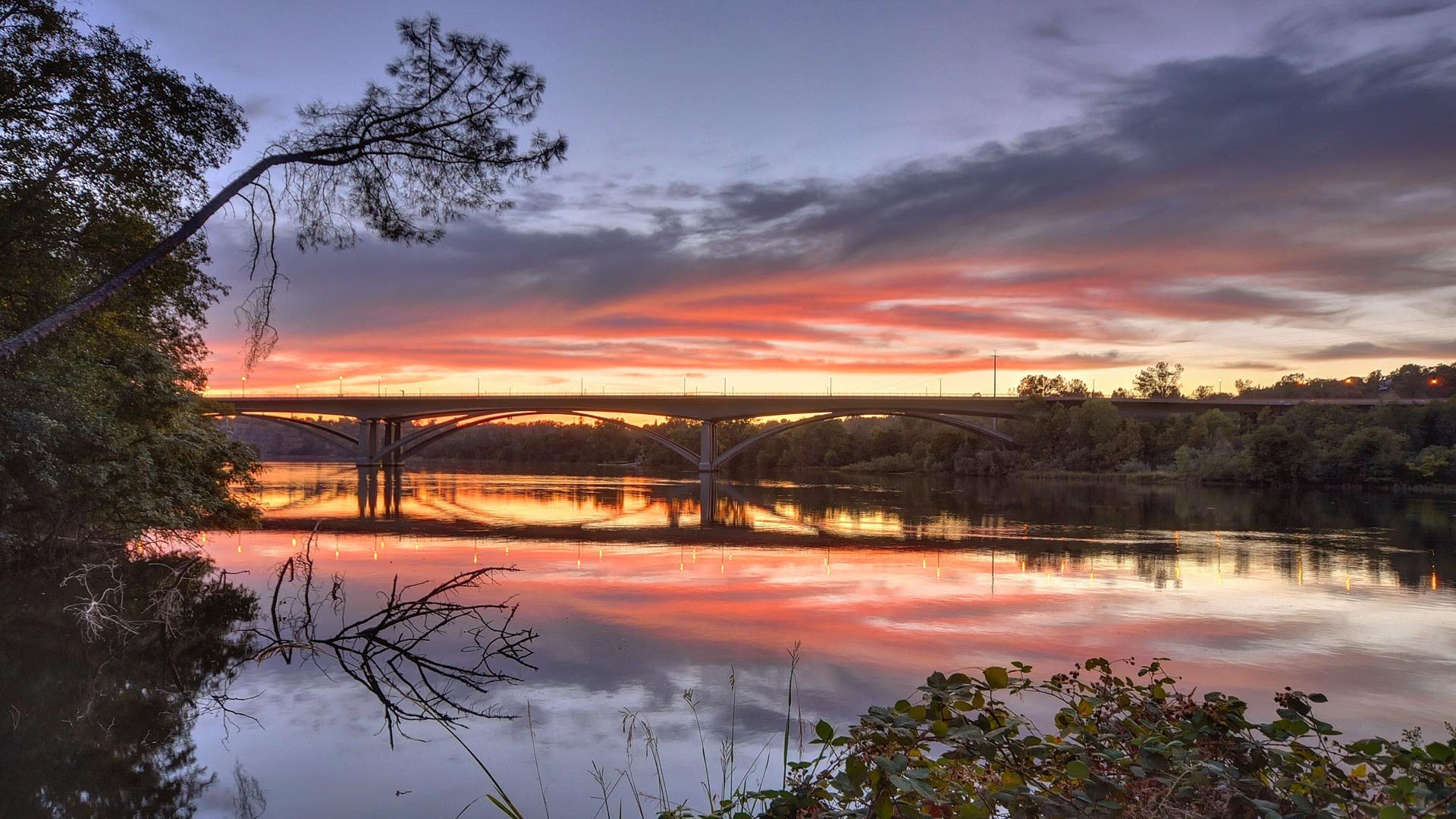
Natomas is the northwestern part of the City of Sacramento, north of the American River and Garden Highway, with Interstate 80 dividing it into South Natomas and North Natomas. South Natomas was built from the 1950s through the 1980s, and North Natomas is a master-planned area built mostly since the mid-1990s. Sacramento International Airport sits within the Natomas basin to the north.
- North Natomas master-planned homes built since the mid-1990s
- South Natomas established homes between the river and Interstate 80
- Sacramento International Airport within the Natomas basin
- North Natomas Regional Park and greenbelt paths
- Interstate 5 and Interstate 80 to downtown and the Bay Area
- Levee improvement program and FEMA A99 zone status
Living in Natomas
Natomas is the City of Sacramento’s newest large residential area and its closest neighborhood to the airport. The basin was farmland until the mid-20th century, South Natomas filled in from the 1950s onward, and North Natomas was planned and built as a single community beginning in the mid-1990s. The area is flat, with greenbelts, parks, and newer schools built into the North Natomas plan, and downtown is immediately south via Interstate 5.
North Natomas and South Natomas housing
Natomas offers two housing types: 1950s to 1980s homes in South Natomas and 1990s to present production homes in North Natomas, both predominantly single-family.
South Natomas, between the river and Interstate 80, has ranch homes and two-story houses on established lots, many near the Garden Highway levee. North Natomas, between Interstate 80 and the county line, is a master-planned community with homeowner associations and villages such as Natomas Park and Westlake, where mostly two-story production houses were built from the mid-1990s onward and some phases are still building out.
Flood zone and levee facts for Natomas
Natomas is a historical floodplain protected by levees, and its FEMA flood zone status has changed several times, so buyers should understand the history and check the current designation for any parcel.
The U.S. Army Corps of Engineers found in 2006 and 2007 that the levees provided less than 100-year protection, and in 2008 FEMA mapped the basin into the 100-year floodplain, bringing mandatory flood insurance for federally backed mortgages and restrictions that halted most new building. The Sacramento Area Flood Control Agency reconstructed about 18 miles of levees by 2013, and in 2015 FEMA remapped Natomas into an A99 zone, lifting the building restrictions but keeping the insurance requirement.
Congress authorized the remaining work in 2014, and the Corps and Reclamation District 1000 have continued rebuilding the 42-mile perimeter system, with reaches still under construction into 2026, aiming for at least 200-year protection and eventual FEMA recertification. Until then, Reclamation District 1000 states that flood insurance remains required for federally backed loans. Ask for the current FEMA zone and an insurance quote during escrow.
Parks, shopping, and the airport near Natomas
North Natomas Regional Park is the area’s largest, with ball fields, playgrounds, water spray areas, and two dog parks. Shopping is concentrated at the Promenade at Sacramento Gateway and Natomas Marketplace along Interstate 80, with Park Place Shopping Center serving South Natomas.
The former Sleep Train Arena was demolished in 2022, and the city is advancing a mixed-use Innovation Park on the site. Sacramento International Airport lies within the basin about ten miles northwest of downtown off Interstate 5, several miles from most Natomas homes.
Schools and getting around from Natomas
Most of Natomas is served by the Natomas Unified School District, with Inderkum High School and Natomas High School as its comprehensive campuses, and small portions fall within the Twin Rivers Unified School District; confirm attendance areas by address.
Interstate 5 connects Natomas directly to downtown and north to the airport, and Interstate 80 runs east toward Roseville and west toward Davis. The long-planned light rail extension to the airport is not funded or built. Neighbors are Downtown Sacramento, West Sacramento, and Arden-Arcade.
Buying or selling in Natomas
Nick Sadek Sotheby’s International Realty works with Natomas buyers and sellers from its Sacramento office on Fair Oaks Boulevard and its Roseville, Woodland, and Nevada City offices. Agents can walk you through the flood zone history and the HOA and Mello-Roos disclosures in North Natomas, and sellers gain exposure through the Sotheby’s International Realty global network.
Search current listings, find out what your home is worth, meet our agents, or contact us. See the Sacramento County hub.
Natomas homes for sale
Live Natomas listings from MetroList will display here once the property search is connected.
Browse Natomas listingsPrefer to talk it through? Call 916.784.7444 and an agent will send you a curated list.
Questions buyers ask about Natomas
Is Natomas in a flood zone?
Yes. Natomas is a historical floodplain behind levees, and FEMA currently maps the basin as an A99 zone following 2015 remapping. Flood insurance is required for federally backed mortgages while the levee program is finished, and agencies plan to seek FEMA recertification afterward. Confirm the current zone and insurance quote for any parcel.
Does Natomas have an HOA?
Most North Natomas neighborhoods have homeowner associations that maintain greenbelts and entry landscaping, and many parcels also carry Mello-Roos assessments. South Natomas homes built before the 1990s generally do not have HOAs. Dues and assessments appear in the seller’s disclosures and on the tax bill.
How close is Natomas to the airport?
Sacramento International Airport sits within the Natomas basin, about ten miles northwest of downtown off Interstate 5. Most Natomas neighborhoods are several miles south of the terminals, with open farmland and conservancy habitat in between. Flight paths vary by neighborhood, so visit at different times of day.
What school districts serve Natomas?
The Natomas Unified School District serves most of Natomas, with Inderkum High School in North Natomas and Natomas High School in South Natomas as its comprehensive campuses. Small portions fall within the Twin Rivers Unified School District. Attendance areas are set by address, so confirm assignments with the district.
Ask a Natomas agent
Tell us what you are looking for in Natomas, or what you are thinking of selling, and a local agent will follow up.