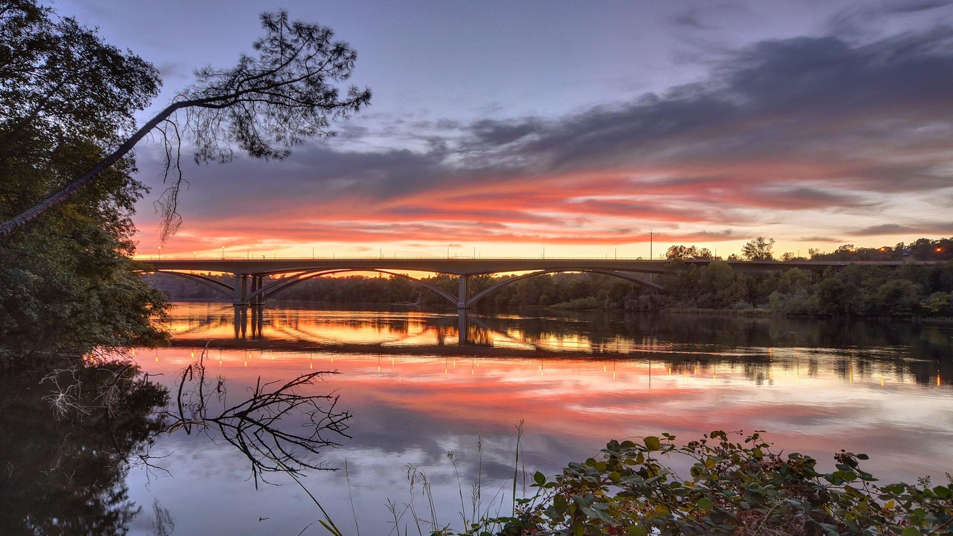
Sacramento is California’s state capital and the seat of Sacramento County, built where the American River meets the Sacramento River. The city runs from the original downtown grid through established neighborhoods east and south of the core to newer master-planned areas in Natomas to the north. Housing ranges from Victorians and 1920s bungalows to mid-century ranches and new construction.
- State capital where the American and Sacramento rivers meet
- American River Parkway and Jedediah Smith Memorial Trail
- Golden 1 Center and Downtown Commons downtown
- Historic districts in Midtown, East Sacramento, and Land Park
- Light rail to Folsom and Cosumnes River College
- Sacramento International Airport off Interstate 5 in Natomas
Living in Sacramento
Sacramento is a river city and a government town, and both facts shape daily life. The Capitol and state offices anchor downtown, the two rivers and the American River Parkway supply the open space, and the street trees behind the nickname City of Trees shade most older neighborhoods.
The city is laid out on a numbered and lettered grid beginning at the Sacramento River. Downtown occupies the blocks west of 16th Street, Midtown continues east to about Alhambra Boulevard, and East Sacramento picks up beyond the Capital City Freeway. South of Broadway, Land Park and Curtis Park were platted in the 1910s and 1920s, and north of the American River, most of Natomas was built after the 1950s. Summers are hot and dry, winters mild and wet.
Neighborhoods and housing in Sacramento
Sacramento’s housing is organized by era, and the era usually tells you the architecture, the lot size, and the street pattern. The central city holds the oldest homes, the first ring dates to the 1910s through 1940s, and the newest subdivisions are in Natomas.
Downtown Sacramento is high-rise condominiums, lofts, and apartments, including residences at Downtown Commons. Midtown Sacramento has the largest concentration of Victorians and Craftsman bungalows, the Boulevard Park historic district, infill townhomes, and R Street warehouse lofts. East Sacramento is known for the Fabulous Forties, with larger lots and Tudor, Colonial Revival, and Mediterranean homes, plus bungalow blocks around McKinley Park. Land Park wraps William Land Park with 1920s to 1940s Tudors and Spanish Revivals, and South Land Park Hills holds mid-century moderns including a designated Eichler historic district.
Natomas is split by Interstate 80 into South Natomas, built from the 1950s through 1980s, and master-planned North Natomas, built mostly since the mid-1990s with homeowner associations. Curtis Park, Oak Park, the Pocket, and Greenhaven round out the established neighborhoods.
Parks, trails, and recreation in Sacramento
The American River Parkway is the city’s defining recreation asset, a county regional park running from Discovery Park at the confluence to Folsom, with the paved Jedediah Smith Memorial Trail along its length and access at Discovery Park, River Park, and the Howe and Watt avenue crossings.
William Land Park is the largest city park, with the Sacramento Zoo, Fairytale Town, Funderland, and a golf course. McKinley Park in East Sacramento has a rose garden, pond, tennis courts, pool, and library branch. Capitol Park surrounds the State Capitol, and North Natomas Regional Park serves the newer neighborhoods. The Kings play at Golden 1 Center downtown, the River Cats at Sutter Health Park across the Tower Bridge in West Sacramento, and Sacramento Republic FC is building a stadium at the Railyards.
Dining, shopping, and daily life in Sacramento
Sacramento’s restaurant and shopping life runs along a few corridors. Downtown has Downtown Commons around the arena and the restored K Street blocks. Midtown’s Handle District, between 17th and 19th streets near Capitol Avenue, is a cluster of restaurants and wine bars, and the R Street corridor pairs converted warehouses with the Warehouse Artist Lofts.
East Sacramento shops along J Street and Folsom Boulevard, Land Park has the Tower District at Broadway and Land Park Drive, and Arden Fair, just across the city line on Arden Way, is the region’s largest enclosed mall. Old Sacramento’s 19th-century waterfront holds the California State Railroad Museum.
Schools and public services in Sacramento
Most of the central city, East Sacramento, Land Park, and the Pocket are served by the Sacramento City Unified School District, whose campuses include C. K. McClatchy High School in Land Park. Natomas is served by the Natomas Unified School District, with Inderkum High School in North Natomas, and small portions fall within Twin Rivers Unified. Confirm attendance areas by address.
Sacramento State sits beside the American River at the edge of East Sacramento, and Sacramento City College is in Land Park. UC Davis Medical Center, Sutter Medical Center, and Mercy General Hospital are the central city’s hospitals.
Getting around and commuting from Sacramento
Sacramento is the hub where Interstate 5, Interstate 80, Highway 50, and Highway 99 meet. The Capital City Freeway loops the central city toward Interstate 80 and Roseville, Highway 50 heads east to Rancho Cordova and Folsom, Interstate 5 runs north to the airport and south to Elk Grove, and Interstate 80 crosses the Yolo Causeway to Davis and the Bay Area.
Light rail serves downtown, Midtown, and R Street, with the Gold Line to Folsom and the Blue Line to Cosumnes River College. Sacramento Valley Station downtown is where Amtrak’s Capitol Corridor boards for the Bay Area. Sacramento International Airport is off Interstate 5 about ten miles northwest of downtown. The flat grid is bike-friendly and connects to the parkway trail.
What to know before buying in Sacramento
Older homes, levees, and special assessments are the three things to understand before buying in Sacramento. Homes in Midtown, East Sacramento, Land Park, and Curtis Park are often a century old, so expect foundation, electrical, plumbing, and sewer lateral inspections, and check whether a property sits in a city historic district such as Boulevard Park, Winn Park, or the South Land Park Hills Eichler district, where exterior changes are reviewed.
Natomas and the Pocket are protected by levees, and Natomas has been through FEMA remapping tied to a multi-year levee program. Ask for the current FEMA zone and the lender’s flood insurance requirement on any property near the rivers. North Natomas and other newer areas commonly carry Mello-Roos assessments and homeowner association dues, both shown in disclosures and on the tax bill.
Buying or selling in Sacramento
Nick Sadek Sotheby’s International Realty serves Sacramento from its office on Fair Oaks Boulevard in the Arden-Arcade area and from Roseville, Woodland, and Nevada City. Agents who work the central city daily can explain how a Boulevard Park Victorian differs from a Fabulous Forties Tudor or a Natomas new build, and sellers reach buyers through the Sotheby’s International Realty global network.
Search current listings in Sacramento, find out what your home is worth, meet our agents, or contact us. For the wider county, see our guide to Sacramento County.
Sacramento homes for sale
Live Sacramento listings from MetroList will display here once the property search is connected.
Browse Sacramento listingsPrefer to talk it through? Call 916.784.7444 and an agent will send you a curated list.
Questions buyers ask about Sacramento
What is Sacramento known for?
Sacramento is the capital of California, built where the American River meets the Sacramento River. It is known for the State Capitol and Capitol Park, Old Sacramento’s 19th-century waterfront, the Crocker Art Museum, Golden 1 Center, the American River Parkway, and tree-lined neighborhoods of Victorians, bungalows, and Tudors.
Which Sacramento neighborhoods have the oldest homes?
Downtown and Midtown hold the oldest housing, including Victorians and the Boulevard Park historic district platted in 1905. East Sacramento, Land Park, and Curtis Park followed in the 1910s through 1940s with bungalows, Tudors, and Spanish Revival homes. Newer construction is concentrated in North Natomas and the Railyards downtown.
What school districts serve Sacramento?
Sacramento City Unified School District serves most of the central city, East Sacramento, Land Park, and the Pocket. Natomas Unified School District serves Natomas, and small portions of the city fall within Twin Rivers Unified. Attendance areas are set by address, so confirm with the district for any specific property.
Is Sacramento in a flood zone?
Parts of the city sit behind levees, including Natomas and the Pocket, and FEMA zone designations vary by parcel. Natomas has been remapped more than once as a levee improvement program progressed. Ask for the current FEMA flood zone determination on any property near the rivers and confirm the lender’s flood insurance requirement.
Ask a Sacramento agent
Tell us what you are looking for in Sacramento, or what you are thinking of selling, and a local agent will follow up.